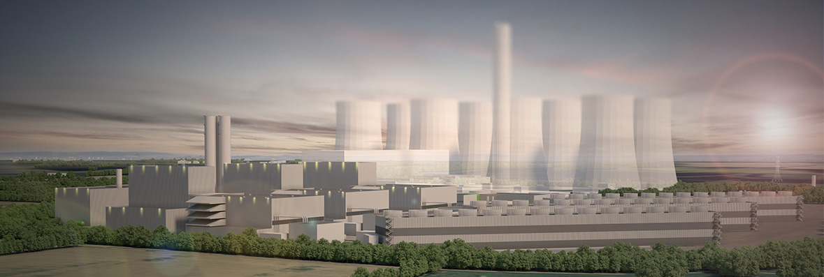
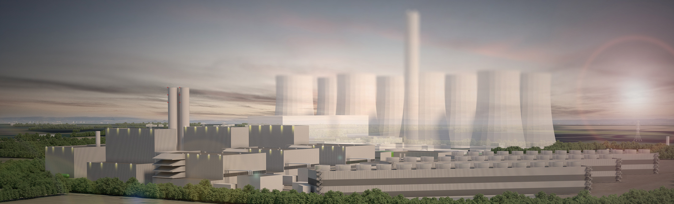
Video Simulations
The video simulations below have been produced using a drone-mounted camera and computer-generated imagery (CGI). The simulations show the following:
- the existing coal-fired power station site with and without the proposed, new gas-fired power station; and
- the route of the proposed underground gas pipeline running from the existing coal-fired power station site, northward under the River Aire to the connection point with the National Transmission System for gas to the west of Burn Village.
.embed-container { position: relative; padding-bottom: 56.25%; height: 0; overflow: hidden; max-width: 100%; } .embed-container iframe, .embed-container object, .embed-container embed { position: absolute; top: 0; left: 0; width: 100%; height: 100%; }
.embed-container { position: relative; padding-bottom: 56.25%; height: 0; overflow: hidden; max-width: 100%; } .embed-container iframe, .embed-container object, .embed-container embed { position: absolute; top: 0; left: 0; width: 100%; height: 100%; }
© 2024 Eggborough Power Ltd, all rights reserved | Cookies | Privacy Policy | WordPress development by Toast Websites.